A Gazetteer of Scotland
Introduction to the Gazetteer
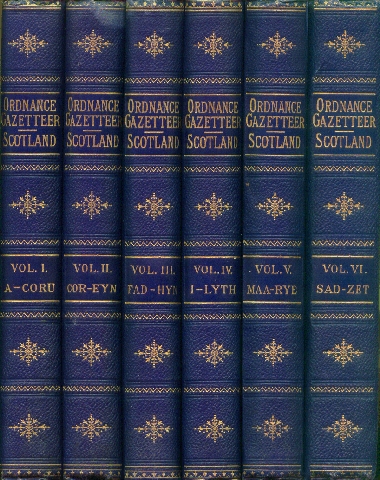 Groome's Ordnance Gazetteer of Scotland was first published in six volumes from 1882 to 1885 by Thomas Jack, an Edinburgh publisher. It quickly established a reputation as the authoritative gazetteer of Scotland, and has been the standard reference to the present day. Although much has changed in Scotland in the last hundred years, the fact remains that no other publication is as comprehensive, accurate and detailed. Volume 6 concluded with a General Survey section of nineteen chapters ranging from geography, agriculture and zoology to history and religion, each chapter written by an authority on its subject.
A second edition was published by William Mackenzie from 1892 with later revisions. It included thirty county double-spread maps printed in colour from steel engraved plates, 32 photolithographs (photographic engravings) of scenes of Scottish towns and countryside and eight street plans and additional maps. None of the printed editions is dated. Internal evidence suggests that the Mackenzie Edition was a revision of no earlier than 1896.
This Internet Edition contains facsimile images of all the pages of the Second (or Mackenzie) Edition, including the 1754 pages of text, (the Gazetteer articles and the General Survey), 32 photo-lithographs, 30 county maps and eight fold-out street plans and additional maps. We have also included the 64 plates of Scottish scenes from the First Edition which were printed from hand-engraved plates.
A Search facility has been designed for this Edition enabling any city or town, village or parish, mountain or river, island or loch to be easily located in the Gazetteer. A specially created Index of Counties links to both the county entries in the Gazetteer and the county maps. Further indexes provide direct links to the Plates, the General Survey articles and the Street Plans and Additional Maps, and there are special indexes to the Edinburgh and Glasgow articles of the Gazetteer.
We have also provided a list of parishes for each county. These are accessed from the Index links on the Index of Counties page. For each parish there is a link to its article in the Gazetteer. A further link for each parish enables you to locate the parish on a modern Ordnance Survey map on the Streetmap web site. Further details of this facility are provided on our OSmaps Help page. (We do not guarantee continuation of the OSMaps facility which is a free service provided by a third party.)
The Home Page links to all of these separate indexes and to these Introductory Pages. A set of Help Pages provides further support for users.
To co-incide with the launch of this Gazetteer of Scotland web site we have also published a revised edition of the Gazetteer of Scotland CD so that you can have the convenience of owning your own edition. All the features of this web site are included on the CD. See the Gazetteer of Scotland CD page.
|